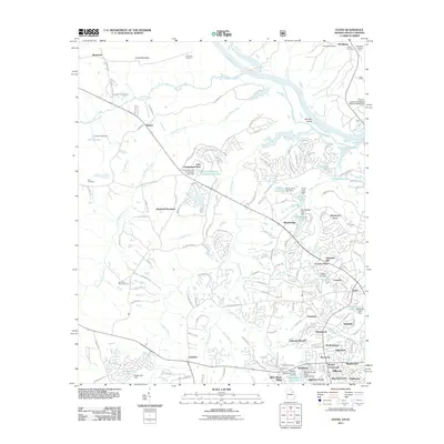
2011 Map of Evans
USGS Topo · Published 2011About this map
Evans and Evanston anchor this residential landscape just west of the Savannah River at the turn of the 21st century. The map reveals a suburban transition where established family-named landmarks like Burks Mountain and German Island meet a dense network of modern subdivisions and private lakes. These water features, often created by small dams like the Columbia Land Corporation Lake Dam and Idlewylde Lake Dam, define the neighborhood boundaries of Windmill Plantation, Deerwood Acres, and Calloway Woods.
Find a feature on this map
133 named features on this map. Tap any name to fly to it.
Don’t see what you’re looking for? This feature index may not catch every label — zoom into the map to look around manually.
Map Details
Editions of this 2011 Evans Map
This is the sole edition of this map. No revisions or reprints were ever made.
Other maps of this area

1892 · Mc Cormick
USGS Topo · 1:125,000

1912 · Mc Cormick
USGS Topo · 1:125,000

1920 · Clarks Hill
USGS Topo · 1:48,000

1921 · Clarks Hill
USGS Topo · 1:62,500

1921 · Appling
USGS Topo · 1:62,500

1922 · Harlem
USGS Topo · 1:62,500

1922 · Hephzibah
USGS Topo · 1:62,500

1941 · Clarks Hill
USGS Topo · 1:62,500

1942 · Clarks Hill
USGS Topo · 1:62,500

1943 · Appling
USGS Topo · 1:62,500