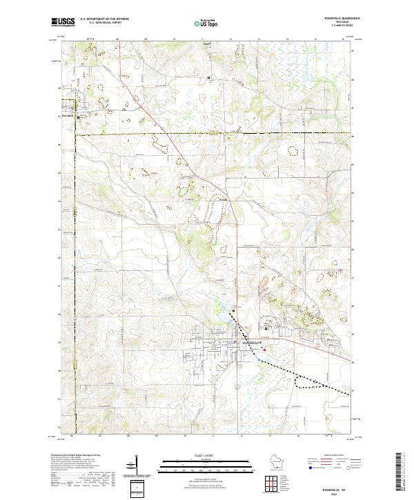
2022 Map of Evansville
USGS Topo · Published 2022About this map
The city of Evansville serves as a central hub where modern street grids meet the rural agricultural landscape of the southern Wisconsin prairie. This survey details the transition between the agricultural lands of Dane and Rock Counties, following the winding course of Allen Creek and Badfish Creek. Local heritage is anchored by several long-standing burial grounds, including Maple Hill Cem and Holy Cross Cem on the outskirts of the primary settlement. The northern reach of the map captures the village of Brooklyn and the smaller crossroads of Union and Stone. A dense network of family-named roads, such as W Butts Corners Rd and W Leedle Mill Rd, illustrates the deeply established property lines and transport patterns of the region. The map also traces smaller tributaries like Spring Cr and Cold Spring Cr as they cut through the surrounding farm acreage.
Find a feature on this map
107 named features on this map. Tap any name to fly to it.
Don’t see what you’re looking for? This feature index may not catch every label — zoom into the map to look around manually.
Map Details
Editions of this 2022 Evansville Map
This is the sole edition of this map. No revisions or reprints were ever made.
Other maps of this area

1889 · Evansville
USGS Topo · 1:62,500

1890 · Stoughton
USGS Topo · 1:62,500

1891 · Janesville
USGS Topo · 1:62,500

1893 · Janesville
USGS Topo · 1:62,500

1893 · Brodhead
USGS Topo · 1:62,500

1894 · Evansville
USGS Topo · 1:62,500

1906 · Evansville
USGS Topo · 1:62,500

1954 · Rockford
USGS Topo · 1:250,000

1955 · Rockford
USGS Topo · 1:250,000

1958 · Rockford
USGS Topo · 1:250,000