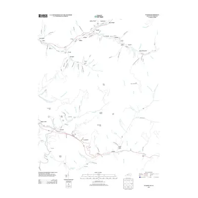
2013 Map of Evarts
USGS Topo · Published 2013About this map
The Clover Fork Cumberland River winds through this section of the Kentucky coalfields, anchoring a dense network of mining settlements and family-named landmarks. The town of Evarts serves as a central hub, surrounded by smaller communities such as Kildav, Verda, and Draper. The area is characterized by steep ridges and narrow hollows, including River Ridge and the heights of Black Mountain, where evidence of the region’s industrial legacy is visible via labels like Coal Bin Rd and Rail-Ln.
Find a feature on this map
148 named features on this map. Tap any name to fly to it.
Don’t see what you’re looking for? This feature index may not catch every label — zoom into the map to look around manually.
Map Details
Editions of this 2013 Evarts Map
This is the sole edition of this map. No revisions or reprints were ever made.
Other maps of this area

1887 · Jonesville
USGS Topo · 1:125,000

1891 · Jonesville
USGS Topo · 1:125,000

1903 · Harlan
USGS Topo · 1:48,000

1916 · Harlan
USGS Topo · 1:48,000

1916 · Nolansburg
USGS Topo · 1:48,000

1919 · Nolansburg
USGS Topo · 1:62,500

1919 · Harlan
USGS Topo · 1:62,500

1932 · Hagan
USGS Topo · 1:62,500

1935 · Hubbard Springs
USGS Topo · 1:24,000
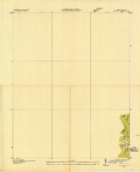
1935 · Evarts
USGS Topo · 1:24,000