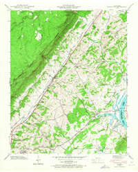
1942 Map of Evensville
USGS Topo · Published 1946About this map
The Cumberland Escarpment and Waden Ridge dominate the northwestern horizon of this 1942 survey, where the rugged terrain of the plateau gives way to the agricultural valley of Rhea County. The Southern railroad line and the Lon Foushee Highway serve as the primary transit corridor, connecting the community of Evensville with smaller settlements like Concord. To the east, the landscape transitions toward the Chickamauga Lake Tennessee River, a recently transformed waterway following the construction of the Watts Bar Dam.
Find a feature on this map
45 named features on this map. Tap any name to fly to it.
Don’t see what you’re looking for? This feature index may not catch every label — zoom into the map to look around manually.
Map Details
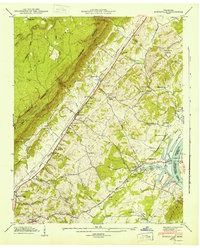
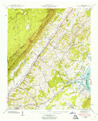
Editions of this 1942 Evensville Map
3 editions found
Other maps of this area

1886 · Cleveland
USGS Topo · 1:125,000

1887 · Kingston
USGS Topo · 1:125,000

1888 · Chattanooga
USGS Topo · 1:125,000

1891 · Kingston
USGS Topo · 1:125,000

1892 · Pikeville
USGS Topo · 1:125,000

1892 · Cleveland
USGS Topo · 1:125,000

1893 · Chattanooga
USGS Topo · 1:125,000

1893 · Kingston
USGS Topo · 1:125,000

1895 · Cleveland
USGS Topo · 1:125,000

1895 · Pikeville
USGS Topo · 1:125,000