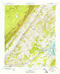
1942 Map of Evensville
USGS Topo · Published 1967About this map
The Cumberland Escarpment and Walden Ridge dominate the western landscape of this Rhea County region, creating a dramatic physical boundary between the high plateau and the fertile valley below. In the early 1940s, the Southern Railway and Highway 27 served as the primary north-south corridors, connecting settlements like Evensville and Concord. The eastern edge of the map is defined by the Chickamauga Lake Tennessee River, where the Washington Ferry and Robinson Landing illustrate the era's continued reliance on river-based transport and the shifting geography following the Tennessee Valley Authority’s reservoir projects.
Find a feature on this map
53 named features on this map. Tap any name to fly to it.
Don’t see what you’re looking for? This feature index may not catch every label — zoom into the map to look around manually.
Map Details
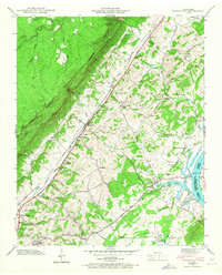
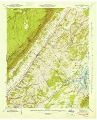
Editions of this 1942 Evensville Map
3 editions found
Other maps of this area

1886 · Cleveland
USGS Topo · 1:125,000

1887 · Kingston
USGS Topo · 1:125,000

1888 · Chattanooga
USGS Topo · 1:125,000

1891 · Kingston
USGS Topo · 1:125,000

1892 · Pikeville
USGS Topo · 1:125,000

1892 · Cleveland
USGS Topo · 1:125,000

1893 · Chattanooga
USGS Topo · 1:125,000

1893 · Kingston
USGS Topo · 1:125,000

1895 · Cleveland
USGS Topo · 1:125,000

1895 · Pikeville
USGS Topo · 1:125,000