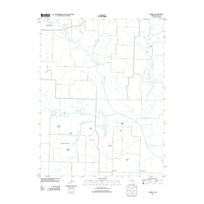
2011 Map of Everett
USGS Topo · Published 2011About this map
The South Grand River and its numerous tributaries, including Poney Creek, Adams Branch, and the South Fork South Grand River, dominate this section of Cass County. This landscape is defined by its distinct topography, where named elevations like Bieger Mound, Dolan Mound, Christiansen Mound, and Osburn Mound rise above the river valleys. The small settlement of Everett sits in the southern portion of the quadrangle, serving as a focal point for the surrounding rural network of section-line roads and family-named landmarks.
Find a feature on this map
66 named features on this map. Tap any name to fly to it.
Don’t see what you’re looking for? This feature index may not catch every label — zoom into the map to look around manually.
Map Details
Editions of this 2011 Everett Map
This is the sole edition of this map. No revisions or reprints were ever made.
Other maps of this area

1887 · Harrisonville
USGS Topo · 1:125,000

1887 · Olathe
USGS Topo · 1:125,000

1887 · Butler
USGS Topo · 1:125,000

1887 · Mound City
USGS Topo · 1:125,000

1892 · Harrisonville
USGS Topo · 1:125,000

1893 · Mound City
USGS Topo · 1:125,000

1893 · Olathe
USGS Topo · 1:125,000

1894 · Harrisonville
USGS Topo · 1:125,000

1894 · Butler
USGS Topo · 1:125,000

1947 · Lawrence
USGS Topo · 1:250,000