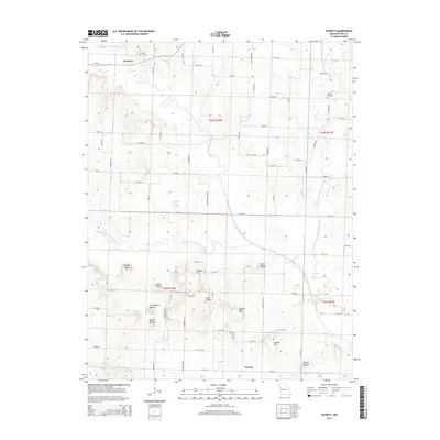
2014 Map of Everett
USGS Topo · Published 2014About this map
The South Grand River and its various tributaries, including the South Fork South Grand River and Poney Cr, define the drainage patterns across this Cass County landscape. The settlement of Freeman sits in the northwest corner, while the small community of Everett is positioned near the southern boundary. This map is particularly notable for its concentration of named topographic rises, often identified as mounds, such as Bieger Mound, Dolan Mound, Steen Mound, and Christiansen Mound. These features, alongside Masters Hill and Dorsett Hill, suggest a complex local relief that influenced the siting of early roads and family homesteads. For those researching local lineages, the Burford Cemetery and Moudy Cemetery provide specific geographic points of interest tied to the area's residents.
Find a feature on this map
76 named features on this map. Tap any name to fly to it.
Don’t see what you’re looking for? This feature index may not catch every label — zoom into the map to look around manually.
Map Details
Editions of this 2014 Everett Map
This is the sole edition of this map. No revisions or reprints were ever made.
Other maps of this area

1887 · Harrisonville
USGS Topo · 1:125,000

1887 · Olathe
USGS Topo · 1:125,000

1887 · Butler
USGS Topo · 1:125,000

1887 · Mound City
USGS Topo · 1:125,000

1892 · Harrisonville
USGS Topo · 1:125,000

1893 · Mound City
USGS Topo · 1:125,000

1893 · Olathe
USGS Topo · 1:125,000

1894 · Harrisonville
USGS Topo · 1:125,000

1894 · Butler
USGS Topo · 1:125,000

1947 · Lawrence
USGS Topo · 1:250,000