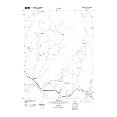
2010 Map of Everett West
USGS Topo · Published 2010About this map
The Raystown Branch Juniata River carves a path through this landscape, creating a natural corridor for transportation and settlement between The Narrows and Everett. This 2010 survey details a region where river-valley agriculture and industry intersect, most notably at the Valley Mill and the industrial activity near Ashcom. The map reflects a deeply rooted community, preserved through family and community landmarks like the Ritchey Cemetery and Hershberger Cemetery.
Find a feature on this map
74 named features on this map. Tap any name to fly to it.
Don’t see what you’re looking for? This feature index may not catch every label — zoom into the map to look around manually.
Map Details
Editions of this 2010 Everett West Map
This is the sole edition of this map. No revisions or reprints were ever made.
Other maps of this area

1900 · Everett
USGS Topo · 1:62,500

1902 · Everett
USGS Topo · 1:62,500

1908 · Bedford
USGS Topo · 1:62,500

1910 · Bedford
USGS Topo · 1:62,500

1927 · Clearville
USGS Topo · 1:48,000

1927 · Hyndman
USGS Topo · 1:62,500

1931 · Clearville
USGS Topo · 1:62,500

1931 · Hyndman
USGS Topo · 1:62,500

1944 · Hyndman
USGS Topo · 1:62,500

1944 · Clearville
USGS Topo · 1:62,500