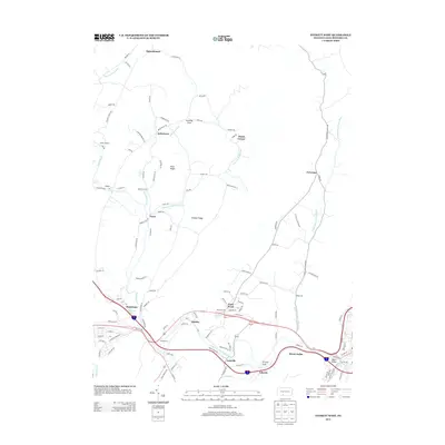
2013 Map of Everett West
USGS Topo · Published 2013About this map
The Raystown Br Juniata River cuts through the Bedford County landscape, shaping the valley where the Lincoln Highway now runs. This corridor connects several small communities, including the village of Chalybeate, known for its Chalybeate Spring, and the settlement of Lutzville near the river bend. The map illustrates a transition from the agricultural lowlands of Dunning Cove to the elevated terrain of Price Ridge and Stiffler Ridge. Local history is anchored by sites such as Ritchey Cem and the recreational grounds of Camp Sunshine. The convergence of Dunning Cr and Imlertown Run further north highlights the water-driven geography that once dictated the placement of pioneer homesteads and crossroads like Imlertown and Dutch Corner.
Find a feature on this map
122 named features on this map. Tap any name to fly to it.
Don’t see what you’re looking for? This feature index may not catch every label — zoom into the map to look around manually.
Map Details
Editions of this 2013 Everett West Map
This is the sole edition of this map. No revisions or reprints were ever made.
Other maps of this area

1900 · Everett
USGS Topo · 1:62,500

1902 · Everett
USGS Topo · 1:62,500

1908 · Bedford
USGS Topo · 1:62,500

1910 · Bedford
USGS Topo · 1:62,500

1927 · Clearville
USGS Topo · 1:48,000

1927 · Hyndman
USGS Topo · 1:62,500

1931 · Clearville
USGS Topo · 1:62,500

1931 · Hyndman
USGS Topo · 1:62,500

1944 · Hyndman
USGS Topo · 1:62,500

1944 · Clearville
USGS Topo · 1:62,500