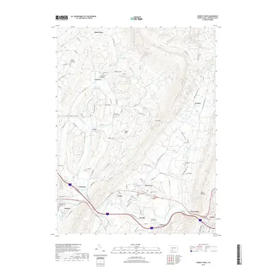
2019 Map of Everett West
USGS Topo · Published 2019About this map
Tussey Mountain and Evitts Mtn dominate the topography of this central Bedford County landscape, framing a series of valleys where agriculture and small settlements have persisted for generations. The Raystown Branch Juniata River winds through the southern portion of the quadrangle, passing the communities of Hartley, Lutzville, and Ashcom. This corridor is historically significant for its natural springs, including Chalybeate Spring and Bubbling Spring, which once drew visitors to the area's mineral waters.
Find a feature on this map
95 named features on this map. Tap any name to fly to it.
Don’t see what you’re looking for? This feature index may not catch every label — zoom into the map to look around manually.
Map Details
Editions of this 2019 Everett West Map
This is the sole edition of this map. No revisions or reprints were ever made.
Other maps of this area

1900 · Everett
USGS Topo · 1:62,500

1902 · Everett
USGS Topo · 1:62,500

1908 · Bedford
USGS Topo · 1:62,500

1910 · Bedford
USGS Topo · 1:62,500

1927 · Clearville
USGS Topo · 1:48,000

1927 · Hyndman
USGS Topo · 1:62,500

1931 · Clearville
USGS Topo · 1:62,500

1931 · Hyndman
USGS Topo · 1:62,500

1944 · Hyndman
USGS Topo · 1:62,500

1944 · Clearville
USGS Topo · 1:62,500