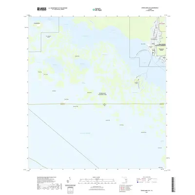
2021 Map of Everglades City
USGS Topo · Published 2021About this map
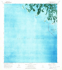
Everglades stands at the edge of a massive aquatic labyrinth where the Barron River meets the Gulf of Mexico. This map reveals a complex network of mangrove keys and tidal passes within the Ten Thousand Islands, serving as a gateway to the Everglades National Park and the adjacent Big Cypress National Preserve. The town’s compact street grid, including Collier Ave and Copeland Ave N, transitions abruptly into the wilderness of Chokoloskee Bay and Plantation Island.
Find a feature on this map
57 named features on this map. Tap any name to fly to it.
Don’t see what you’re looking for? This feature index may not catch every label — zoom into the map to look around manually.
Map Details
Editions of this 2021 Everglades City Map
This is the sole edition of this map. No revisions or reprints were ever made.
Other maps of this area

1956 · Miami
USGS Topo · 1:250,000

1958 · Miami
USGS Topo · 1:250,000

1972 · Weavers Station
USGS Topo · 1:24,000

1972 · Ochopee
USGS Topo · 1:24,000

1973 · Pavilion Key
USGS Topo · 1:24,000
1973 · Royal Palm Hammock
USGS Topo · 1:24,000
1974 · Everglades City
USGS Topo · 1:24,000
1974 · Chokoloskee
USGS Topo · 1:24,000
1974 · Panther Key
USGS Topo · 1:24,000

1982 · Everglades City
USGS Topo · 1:100,000