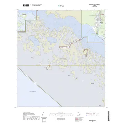
2024 Map of Everglades City
USGS Topo · Published 2024About this map
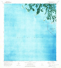
Everglades City sits at the junction of the Barron River and Chokoloskee Bay, serving as a primary gateway to the intricate labyrinth of the Ten Thousand Islands. This modern survey illustrates the proximity of the settlement to the vast Marjory Stoneman Douglas Wilderness and the Big Cypress National Preserve, highlighting the town's position as a hub for both aviation at the Everglades Airpark and maritime navigation. The mapping reveals a complex network of mangrove-lined passes and bays, such as Russell Pass and Indian Key Pass, which have historically defined travel in this region.
Find a feature on this map
56 named features on this map. Tap any name to fly to it.
Don’t see what you’re looking for? This feature index may not catch every label — zoom into the map to look around manually.
Map Details
Editions of this 2024 Everglades City Map
This is the sole edition of this map. No revisions or reprints were ever made.
Other maps of this area

1956 · Miami
USGS Topo · 1:250,000

1958 · Miami
USGS Topo · 1:250,000

1972 · Weavers Station
USGS Topo · 1:24,000

1972 · Ochopee
USGS Topo · 1:24,000

1973 · Pavilion Key
USGS Topo · 1:24,000
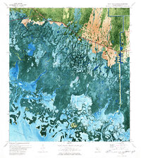
1973 · Royal Palm Hammock
USGS Topo · 1:24,000
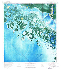
1974 · Everglades City
USGS Topo · 1:24,000
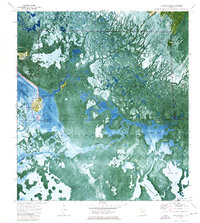
1974 · Chokoloskee
USGS Topo · 1:24,000
1974 · Panther Key
USGS Topo · 1:24,000

1982 · Everglades City
USGS Topo · 1:100,000