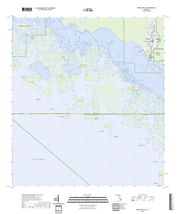
2025 Map of Everglades City
USGS Topo · Published 2025About this map
Everglades City serves as the focal point of this coastal survey, where the Barron River meets the intricate labyrinth of the Ten Thousand Islands. The map illustrates a landscape defined by water and mangrove keys, marking the transition from the developed streets of Everglades and Plantation Island into the protected expanses of Everglades National Park and Big Cypress National Preserve. Genealogists and local historians will find significant value in the remote locations of Fakahatchee Cem and Russell Key Cem, which provide evidence of earlier settlement patterns in this difficult environment. Navigation and recreation are central to the area's identity, evidenced by the Wilderness Waterway and the Florida Circumnavigational Paddling Trl threading through Chokoloskee Bay and Gaskin Bay.
Find a feature on this map
60 named features on this map. Tap any name to fly to it.
Don’t see what you’re looking for? This feature index may not catch every label — zoom into the map to look around manually.
Map Details
Editions of this 2025 Everglades City Map
This is the sole edition of this map. No revisions or reprints were ever made.
Other maps of this area

1956 · Miami
USGS Topo · 1:250,000

1958 · Miami
USGS Topo · 1:250,000

1972 · Weavers Station
USGS Topo · 1:24,000

1972 · Ochopee
USGS Topo · 1:24,000

1973 · Pavilion Key
USGS Topo · 1:24,000
1973 · Royal Palm Hammock
USGS Topo · 1:24,000
1974 · Everglades City
USGS Topo · 1:24,000
1974 · Chokoloskee
USGS Topo · 1:24,000
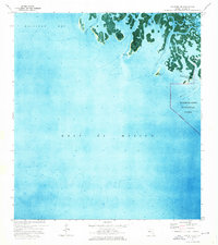
1974 · Panther Key
USGS Topo · 1:24,000

1982 · Everglades City
USGS Topo · 1:100,000