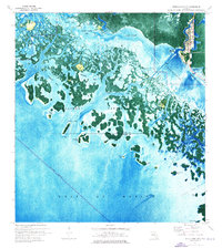
1974 Map of Everglades City
USGS Topo · Published 1976About this map
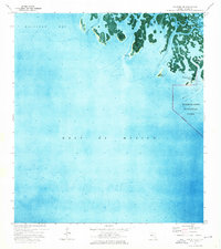
Everglades and the surrounding coastline of Everglades National Park are rendered in this mid-1970s orthophotomap, which uses aerial imagery to highlight the intricate mangrove and water patterns of the Ten Thousand Islands. The map provides a detailed view of the settlement along the Barron River, where the Ranger Sta and local infrastructure meet the edge of the wilderness. Genealogists and local historians can locate the Fakahatchee Cem on the shores of Fakahatchee Bay, a remnant of earlier coastal life.
Find a feature on this map
35 named features on this map. Tap any name to fly to it.
Don’t see what you’re looking for? This feature index may not catch every label — zoom into the map to look around manually.
Map Details
Editions of this 1974 Everglades City Map
2 editions found
Other maps of this area

1956 · Miami
USGS Topo · 1:250,000

1958 · Miami
USGS Topo · 1:250,000

1972 · Weavers Station
USGS Topo · 1:24,000

1972 · Ochopee
USGS Topo · 1:24,000

1973 · Pavilion Key
USGS Topo · 1:24,000
1973 · Royal Palm Hammock
USGS Topo · 1:24,000
1974 · Chokoloskee
USGS Topo · 1:24,000
1974 · Panther Key
USGS Topo · 1:24,000

1982 · Everglades City
USGS Topo · 1:100,000

1988 · Miami
USGS Topo · 1:250,000