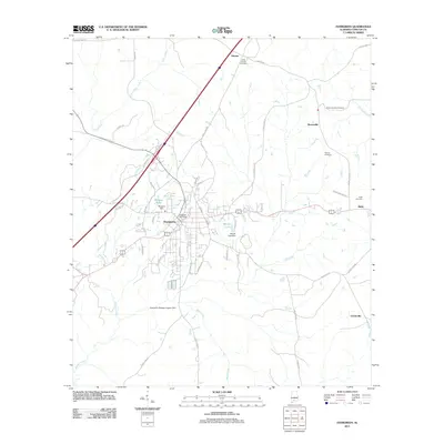
2011 Map of Evergreen
USGS Topo · Published 2011About this map
Evergreen serves as the central hub of this Conecuh County landscape, where the Evergreen Post Office anchors a grid of residential and commercial streets. The surrounding territory is defined by the drainage of Murder Creek and Cane Creek, with smaller water bodies such as Morgans Pond and Moody Lake held back by the Morgans Dam and Moody Lake Dam. Beyond the main settlement, the area is dotted with outlying communities like Owassa to the north and Rabb to the east, connected by a network of rural roads.
Find a feature on this map
59 named features on this map. Tap any name to fly to it.
Don’t see what you’re looking for? This feature index may not catch every label — zoom into the map to look around manually.
Map Details
Editions of this 2011 Evergreen Map
This is the sole edition of this map. No revisions or reprints were ever made.
Other maps of this area

1953 · Andalusia
USGS Topo · 1:250,000

1957 · Andalusia
USGS Topo · 1:250,000

1971 · Lyeffion
USGS Topo · 1:24,000

1971 · Castleberry
USGS Topo · 1:24,000

1971 · Belleville
USGS Topo · 1:24,000

1971 · Garland
USGS Topo · 1:24,000

1971 · China
USGS Topo · 1:24,000

1982 · Evergreen
USGS Topo · 1:24,000

1982 · Nymph
USGS Topo · 1:24,000

1982 · Old Town
USGS Topo · 1:24,000