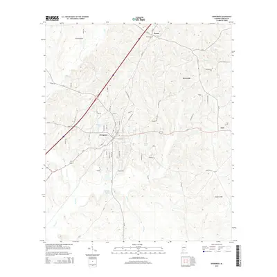
2014 Map of Evergreen
USGS Topo · Published 2014About this map
Evergreen serves as the central hub of this Conecuh County survey, where the convergence of Us-31 and Us-84 meets the primary transportation corridor of Interstate 65. The local landscape is defined by the winding course of Murder Creek and its tributary Murder Cr, which drain the undulating terrain south of Owassa. This area shows a persistent pattern of small-scale rural settlements and family-named landmarks, such as Brownville and Centerville, connected by a network of county roads including Brooklyn Rd and Knoxville Rd.
Find a feature on this map
66 named features on this map. Tap any name to fly to it.
Don’t see what you’re looking for? This feature index may not catch every label — zoom into the map to look around manually.
Map Details
Editions of this 2014 Evergreen Map
This is the sole edition of this map. No revisions or reprints were ever made.
Other maps of this area

1953 · Andalusia
USGS Topo · 1:250,000

1957 · Andalusia
USGS Topo · 1:250,000

1971 · Lyeffion
USGS Topo · 1:24,000

1971 · Castleberry
USGS Topo · 1:24,000

1971 · Belleville
USGS Topo · 1:24,000

1971 · Garland
USGS Topo · 1:24,000

1971 · China
USGS Topo · 1:24,000

1982 · Evergreen
USGS Topo · 1:24,000

1982 · Nymph
USGS Topo · 1:24,000

1982 · Old Town
USGS Topo · 1:24,000