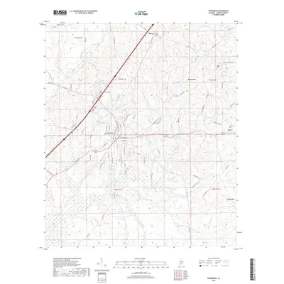
2018 Map of Evergreen
USGS Topo · Published 2018About this map
Evergreen serves as the focal point of this 2018 survey, appearing as a hub where local roads and the interstate corridor converge in southern Alabama. The town's layout is defined by a dense network of streets, including Kendall Ave and W Front St, positioned near the flowing waters of Murder Cr. This modern topography documents the established educational presence of Reid State Technical College and the surrounding rural landscape of Conecuh County.
Find a feature on this map
83 named features on this map. Tap any name to fly to it.
Don’t see what you’re looking for? This feature index may not catch every label — zoom into the map to look around manually.
Map Details
Editions of this 2018 Evergreen Map
This is the sole edition of this map. No revisions or reprints were ever made.
Other maps of this area

1953 · Andalusia
USGS Topo · 1:250,000

1957 · Andalusia
USGS Topo · 1:250,000

1971 · Lyeffion
USGS Topo · 1:24,000

1971 · Castleberry
USGS Topo · 1:24,000

1971 · Belleville
USGS Topo · 1:24,000

1971 · Garland
USGS Topo · 1:24,000

1971 · China
USGS Topo · 1:24,000

1982 · Evergreen
USGS Topo · 1:24,000

1982 · Nymph
USGS Topo · 1:24,000

1982 · Old Town
USGS Topo · 1:24,000