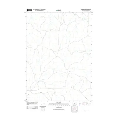
2012 Map of Evergreen NE
USGS Topo · Published 2012About this map
Saint Luke Cem stands as a focal point for genealogical interest in this rural landscape of southwestern South Dakota. The terrain is defined by the winding paths of Palmer Cr and Mousseaux Cr, which snake through the northern and central portions of the quadrangle. Transport and movement across this open country are marked by several significant routes, including the Big Foot Trl in the southeast and the utility-focused Fire Trl. The inclusion of Bia Rd reflects the administrative and historical infrastructure of the region, providing a specific geographic context for researchers tracing land use and community connections in the early 21st century.
Find a feature on this map
6 named features on this map. Tap any name to fly to it.
Don’t see what you’re looking for? This feature index may not catch every label — zoom into the map to look around manually.
Map Details
Editions of this 2012 Evergreen NE Map
This is the sole edition of this map. No revisions or reprints were ever made.
Other maps of this area

1950 · Conata SW
USGS Topo · 1:24,000

1950 · Imlay SW
USGS Topo · 1:24,000

1950 · Imlay SE
USGS Topo · 1:24,000

1951 · Sharps Corner
USGS Topo · 1:24,000

1955 · Hot Springs
USGS Topo · 1:250,000

1981 · Wall
USGS Topo · 1:100,000

1981 · Yellow Bear Camp
USGS Topo · 1:25,000

1981 · Kyle
USGS Topo · 1:25,000

1981 · Evergreen
USGS Topo · 1:25,000

1981 · Evergreen NE
USGS Topo · 1:24,000