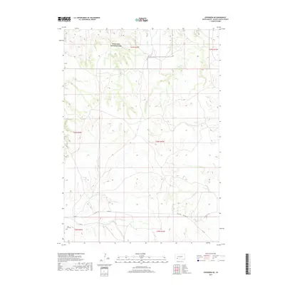
2017 Map of Evergreen NE
USGS Topo · Published 2017About this map
Badlands National Park anchors the northern reaches of this Oglala Lakota County landscape, where the terrain breaks into the complex drainages of Palmer Cr and Mousseaux Cr. This 2017 survey reveals a sparsely populated region defined by traditional transit corridors and land management boundaries. Cultural sites are concentrated in the southwest corner, specifically around the Saint Luke Cem, which sits near the intersection of several local routes. The movement of people across this prairie environment is traced through historical and modern thoroughfares, including the Big Foot Trl and Sharps Rd, which parallel the path of BIA Hwy 2. The map illustrates the structured township and range system, dividing the land into distinct sections such as t40n r42w, providing a clear record of contemporary land use in the South Dakota plains.
Find a feature on this map
15 named features on this map. Tap any name to fly to it.
Don’t see what you’re looking for? This feature index may not catch every label — zoom into the map to look around manually.
Map Details
Editions of this 2017 Evergreen NE Map
This is the sole edition of this map. No revisions or reprints were ever made.
Other maps of this area

1950 · Conata SW
USGS Topo · 1:24,000

1950 · Imlay SW
USGS Topo · 1:24,000

1950 · Imlay SE
USGS Topo · 1:24,000

1951 · Sharps Corner
USGS Topo · 1:24,000

1955 · Hot Springs
USGS Topo · 1:250,000

1981 · Wall
USGS Topo · 1:100,000

1981 · Yellow Bear Camp
USGS Topo · 1:25,000

1981 · Kyle
USGS Topo · 1:25,000

1981 · Evergreen
USGS Topo · 1:25,000

1981 · Evergreen NE
USGS Topo · 1:24,000