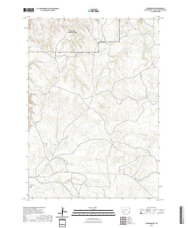
2021 Map of Evergreen NE
USGS Topo · Published 2021About this map
Badlands National Park anchors the northern reaches of this Oglala Lakota County landscape, where the rugged terrain transitions into the drainage systems of Palmer Cr and Mousseaux Cr. This modern survey illustrates a sparsely populated section of the Pine Ridge Reservation, defined more by its historical routes and natural topography than by dense settlement. The southern portion of the map is marked by the presence of Saint Luke Cem, a significant point for local genealogy and cultural history. Transport and access are dictated by a network of rural routes, including the prominent Big Foot Trl and BIA Hwy 2, which traverse the high plateaus and creek valleys. The layout of these trails and roads follows the natural contours of the land, reflecting a persistent pattern of movement across this specific part of South Dakota.
Find a feature on this map
16 named features on this map. Tap any name to fly to it.
Don’t see what you’re looking for? This feature index may not catch every label — zoom into the map to look around manually.
Map Details
Editions of this 2021 Evergreen NE Map
This is the sole edition of this map. No revisions or reprints were ever made.
Other maps of this area

1950 · Conata SW
USGS Topo · 1:24,000

1950 · Imlay SW
USGS Topo · 1:24,000

1950 · Imlay SE
USGS Topo · 1:24,000

1951 · Sharps Corner
USGS Topo · 1:24,000

1955 · Hot Springs
USGS Topo · 1:250,000

1981 · Wall
USGS Topo · 1:100,000

1981 · Yellow Bear Camp
USGS Topo · 1:25,000

1981 · Kyle
USGS Topo · 1:25,000

1981 · Evergreen
USGS Topo · 1:25,000

1981 · Evergreen NE
USGS Topo · 1:24,000