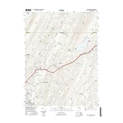
2016 Map of Evitts Creek
USGS Topo · Published 2016About this map
Cumberland and its northern outskirts are defined by the convergence of steep Appalachian ridges and the Potomac River valley. The landscape transitions from the urban core of South Cumberland to the high elevations of Wills Mtn and Evitts Mtn. This terrain dictated the path of critical transportation and infrastructure corridors, including the National Pike and the historic Chesapeake and Ohio Canal National Historical Park, where the Evitts Creek Aqueduct stands.
Find a feature on this map
125 named features on this map. Tap any name to fly to it.
Don’t see what you’re looking for? This feature index may not catch every label — zoom into the map to look around manually.
Map Details
Editions of this 2016 Evitts Creek Map
This is the sole edition of this map. No revisions or reprints were ever made.
Other maps of this area

1898 · Frostburg
USGS Topo · 1:62,500

1899 · Flintstone
USGS Topo · 1:62,500

1900 · Flintstone
USGS Topo · 1:62,500

1901 · Frostburg
USGS Topo · 1:62,500

1908 · Frostburg
USGS Topo · 1:62,500

1923 · Berlin
USGS Topo · 1:48,000

1927 · Hyndman
USGS Topo · 1:62,500

1929 · Berlin
USGS Topo · 1:62,500

1931 · Hyndman
USGS Topo · 1:62,500

1944 · Hyndman
USGS Topo · 1:62,500