2023 Map of Evitts Creek
USGS Topo · Published 2023About this map
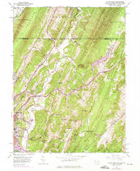
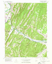
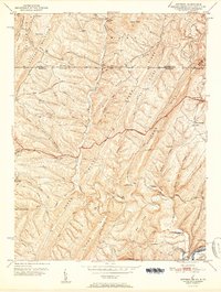
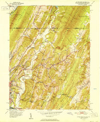
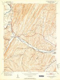
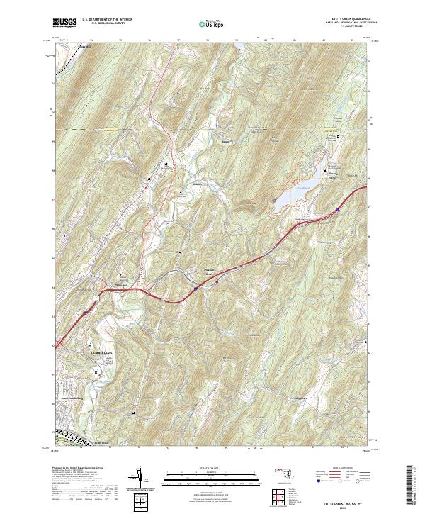
Cumberland and its southern suburbs anchor the southwestern corner of this survey, where the Allegany College of Maryland overlooks a landscape defined by the parallel ridges of the Appalachian Mountains. The terrain is marked by prominent heights like Wills Mountain and Evitts Mountain, which channel the flow of Wills Creek and Evitts Creek toward the Potomac basin. This corridor serves as a significant transit route, following the historic National Hwy through the gap. Beyond the urban center, smaller settlements like Wolfe Mill, Pleasant Grove, and Twiggtown appear among a network of rural hollows and ridges. The presence of several distinct burial sites, including the Maryland Veterans Cem Rocky Gap and the Robinette Family Cem, provides valuable points of interest for genealogists tracing local family lineages. Near the center of the map, Lake Habeeb serves as a prominent landmark within the drainage of Rocky Gap Run.
Find a feature on this map
131 named features on this map. Tap any name to fly to it.
Don’t see what you’re looking for? This feature index may not catch every label — zoom into the map to look around manually.
Map Details
Editions of this 2023 Evitts Creek Map
This is the sole edition of this map. No revisions or reprints were ever made.
Historical Maps of Yonkers Through Time
6 maps found