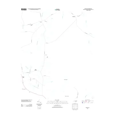
2013 Map of Exum
USGS Topo · Published 2013About this map
The low-lying coastal plain of Brunswick County defines this landscape, where early 21st-century settlement patterns are dictated by the intricate drainage systems of Alligator Swamp and the S Prong Wet Ash Swamp. Small communities and family-named locales are dispersed throughout the region, including Exum, Makatoka, and Big Neck. The area's agricultural and timber heritage is evident through local identifiers like Ludlum Pasture and Horse Pen Ridge, as well as the naming of Sawdust Rd. This U.S. Geological Survey record reveals a network of rural roads such as Myrtle Head Rd NW and Big Neck Rd NW that connect isolated homesteads and settlements like Piver and Head o' th' Forks across a terrain dominated by meandering waterways like Juniper Cr and Mill Br.
Find a feature on this map
41 named features on this map. Tap any name to fly to it.
Don’t see what you’re looking for? This feature index may not catch every label — zoom into the map to look around manually.
Map Details
Editions of this 2013 Exum Map
This is the sole edition of this map. No revisions or reprints were ever made.
Other maps of this area

1942 · Juniper Creek
USGS Topo · 1:24,000

1943 · Calabash
USGS Topo · 1:31,680

1943 · Freeland
USGS Topo · 1:24,000

1943 · Honey Island
USGS Topo · 1:24,000

1943 · Holden Beach
USGS Topo · 1:24,000

1943 · Exum
USGS Topo · 1:24,000

1943 · Supply
USGS Topo · 1:24,000

1943 · Shallotte
USGS Topo · 1:24,000

1944 · Supply
USGS Topo · 1:31,680

1944 · Shallotte
USGS Topo · 1:31,680