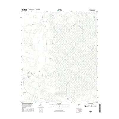
2016 Map of Exum
USGS Topo · Published 2016About this map
Green Swamp dominates this landscape in coastal Brunswick County, where a intricate network of wetlands and bays defines the local geography. Small settlements like Exum and Makatoka sit along the periphery of these vast marshlands, connected by a lattice of rural roads such as Makatoka Rd NW and Big Neck Rd NW. The terrain is characterized by a series of "bays" — unique elliptical depressions common to the Carolina coastal plain — including Clayton Bay, Wille Bay, and Bee Island Bay.
Find a feature on this map
51 named features on this map. Tap any name to fly to it.
Don’t see what you’re looking for? This feature index may not catch every label — zoom into the map to look around manually.
Map Details
Editions of this 2016 Exum Map
This is the sole edition of this map. No revisions or reprints were ever made.
Other maps of this area

1942 · Juniper Creek
USGS Topo · 1:24,000

1943 · Calabash
USGS Topo · 1:31,680

1943 · Freeland
USGS Topo · 1:24,000

1943 · Honey Island
USGS Topo · 1:24,000

1943 · Holden Beach
USGS Topo · 1:24,000

1943 · Exum
USGS Topo · 1:24,000

1943 · Supply
USGS Topo · 1:24,000

1943 · Shallotte
USGS Topo · 1:24,000

1944 · Supply
USGS Topo · 1:31,680

1944 · Shallotte
USGS Topo · 1:31,680