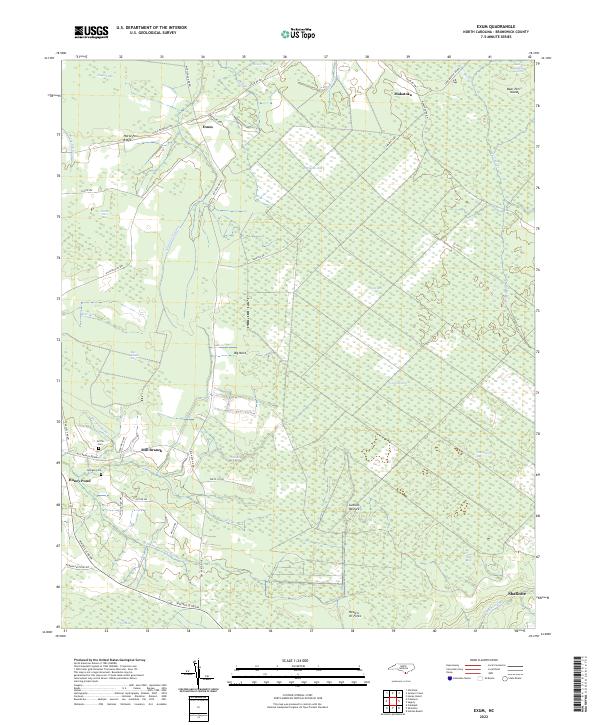
2022 Map of Exum
USGS Topo · Published 2022About this map
Green Swamp dominates this part of Brunswick County, defining a landscape where small settlements and family lands are carved out of extensive wetlands. In the north, the community of Exum sits at a junction of rural roads like Myrtlehead Rd NW and Little Prong Rd NW, while Makatoka lies to the northeast near Bear Pen Islands. The southern portion of the map shows more concentrated activity near Shallotte, with the headwaters of Mulberry Br reaching into the lowlands. Local history is anchored by the Griffin Cem and Milligan Cem, situated near Mill Branch. The geography is a complex network of bays and branches, including Bee Island Bay, Mill Bay, and Shingletree Bay, illustrating how drainage patterns shaped the placement of early homesteads and timber roads like Sawdust Rd.
Find a feature on this map
50 named features on this map. Tap any name to fly to it.
Don’t see what you’re looking for? This feature index may not catch every label — zoom into the map to look around manually.
Map Details
Editions of this 2022 Exum Map
This is the sole edition of this map. No revisions or reprints were ever made.
Other maps of this area

1942 · Juniper Creek
USGS Topo · 1:24,000

1943 · Calabash
USGS Topo · 1:31,680

1943 · Freeland
USGS Topo · 1:24,000

1943 · Honey Island
USGS Topo · 1:24,000

1943 · Holden Beach
USGS Topo · 1:24,000

1943 · Exum
USGS Topo · 1:24,000

1943 · Supply
USGS Topo · 1:24,000

1943 · Shallotte
USGS Topo · 1:24,000

1944 · Supply
USGS Topo · 1:31,680

1944 · Shallotte
USGS Topo · 1:31,680