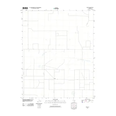
2010 Map of Exum
USGS Topo · Published 2010About this map
Exum is a small rural community in the Texas Panhandle, positioned along FM 281 where it intersects with Farm Store Rd and Turner Rd. The landscape here is defined by large-scale agricultural parcels and a geometric grid of rural roads, including Monsanto Rd and Summerour Ln, which reflect the industrial and familial legacies of the High Plains.
Find a feature on this map
13 named features on this map. Tap any name to fly to it.
Don’t see what you’re looking for? This feature index may not catch every label — zoom into the map to look around manually.
Map Details
Editions of this 2010 Exum Map
This is the sole edition of this map. No revisions or reprints were ever made.
Other maps of this area

1954 · Tucumcari
USGS Topo · 1:250,000

1954 · Dalhart
USGS Topo · 1:250,000

1958 · Tucumcari
USGS Topo · 1:250,000

1958 · Dalhart
USGS Topo · 1:250,000

1962 · Dalhart
USGS Topo · 1:250,000

1963 · Hartley NE
USGS Topo · 1:24,000

1963 · Moran Ranch
USGS Topo · 1:24,000

1965 · Wilco
USGS Topo · 1:24,000

1965 · Lautz
USGS Topo · 1:24,000

1965 · Conlen
USGS Topo · 1:24,000