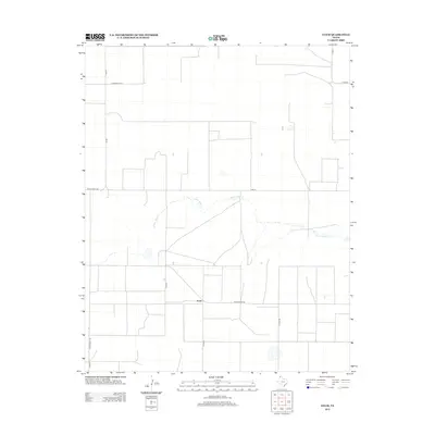
2012 Map of Exum
USGS Topo · Published 2012About this map
The high plains of Hartley County are defined here by the small community of Exum and the winding course of N Palo Duro Cr. This 2012 survey illustrates a landscape dominated by a rigid grid of agricultural roads, such as Co Line Rd and Cord 49, which carve the terrain into massive sections typical of the Texas Panhandle. The transport network is a mix of state-maintained routes like FM-807 and Ranch Road 281 alongside local ranch passages, including Summerour Ln. Unlike the geometric precision of the roadways, the northern branch of N Palo Duro Cr meanders across the central portion of the sheet, providing a natural break in the structured ranchland. The settlement at Exum serves as the focal point of the southern portion, located at the junction of several regional connectors.
Find a feature on this map
14 named features on this map. Tap any name to fly to it.
Don’t see what you’re looking for? This feature index may not catch every label — zoom into the map to look around manually.
Map Details
Editions of this 2012 Exum Map
This is the sole edition of this map. No revisions or reprints were ever made.
Other maps of this area

1954 · Tucumcari
USGS Topo · 1:250,000

1954 · Dalhart
USGS Topo · 1:250,000

1958 · Tucumcari
USGS Topo · 1:250,000

1958 · Dalhart
USGS Topo · 1:250,000

1962 · Dalhart
USGS Topo · 1:250,000

1963 · Hartley NE
USGS Topo · 1:24,000

1963 · Moran Ranch
USGS Topo · 1:24,000

1965 · Wilco
USGS Topo · 1:24,000

1965 · Lautz
USGS Topo · 1:24,000

1965 · Conlen
USGS Topo · 1:24,000