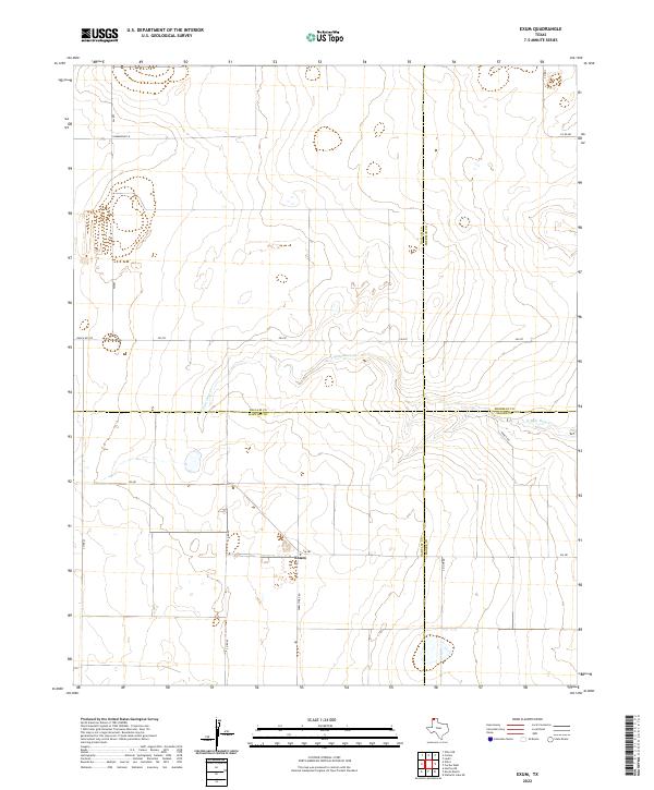
2022 Map of Exum
USGS Topo · Published 2022About this map
Exum serves as the central focal point in this high-plains landscape where four Texas counties — Dallam, Hartley, Moore, and Sherman — converge. The terrain is defined by the winding course of N Palo Duro Cr as it cuts through the panhandle's agricultural expanses. A network of rural farm-to-market roads and county lines, such as Co Line Rd and Fm 281, dictates the movement of people and commerce between these isolated ranching and farming communities. The layout of Summerour Ln and Farm Store Rd suggests a landscape deeply rooted in localized agricultural operations. This survey provides a clear view of the modern road grid and natural drainage patterns that have shaped the development of this specific intersection of the Texas Panhandle.
Find a feature on this map
18 named features on this map. Tap any name to fly to it.
Don’t see what you’re looking for? This feature index may not catch every label — zoom into the map to look around manually.
Map Details
Editions of this 2022 Exum Map
This is the sole edition of this map. No revisions or reprints were ever made.
Other maps of this area

1954 · Tucumcari
USGS Topo · 1:250,000

1954 · Dalhart
USGS Topo · 1:250,000

1958 · Tucumcari
USGS Topo · 1:250,000

1958 · Dalhart
USGS Topo · 1:250,000

1962 · Dalhart
USGS Topo · 1:250,000

1963 · Hartley NE
USGS Topo · 1:24,000

1963 · Moran Ranch
USGS Topo · 1:24,000

1965 · Wilco
USGS Topo · 1:24,000

1965 · Lautz
USGS Topo · 1:24,000

1965 · Conlen
USGS Topo · 1:24,000