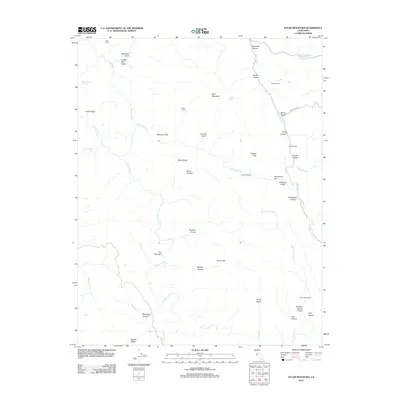
2012 Map of Eylar Mountain
USGS Topo · Published 2012About this map
Eylar Mountain towers over a complex landscape of deep canyons and seasonal drainages in this 2012 study of the California Coast Ranges. The map documents a network of rural outposts and family landholdings, including Parman Ranch, Fisher Homestead, and Camp Bessie, which highlight the area's history of ranching and remote habitation. Water sources are critical features of this terrain, with McGlinchey Spring and Banta Spring providing life-sustaining points among the arid ridges. Drainage patterns are defined by the winding paths of Arroyo Valle, Arroyo Mocho, and Arroyo Bayo, which have carved significant landmarks like The Narrows. This modern survey also preserves the names of early industrial and agricultural sites such as Coffey Mill Gulch and Sherman Flats, offering researchers a clear view of how these interior valleys were utilized before contemporary conservation and land management efforts shaped the region.
Find a feature on this map
50 named features on this map. Tap any name to fly to it.
Don’t see what you’re looking for? This feature index may not catch every label — zoom into the map to look around manually.
Map Details
Editions of this 2012 Eylar Mountain Map
This is the sole edition of this map. No revisions or reprints were ever made.
Other maps of this area

1897 · Mt. Hamilton
USGS Topo · 1:62,500

1907 · Tesla
USGS Topo · 1:62,500

1922 · Carbona
USGS Topo · 1:62,500

1938 · Mt. Boardman
USGS Topo · 1:62,500

1942 · Mt. Hamilton
USGS Topo · 1:62,500
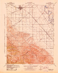
1942 · Carbona
USGS Topo · 1:62,500

1942 · Mt. Boardman
USGS Topo · 1:62,500

1942 · Altamont
USGS Topo · 1:62,500
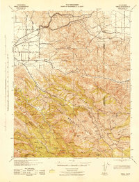
1943 · Tesla
USGS Topo · 1:62,500
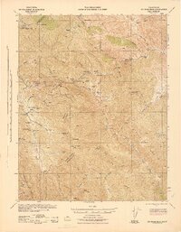
1943 · Mt. Boardman
USGS Topo · 1:62,500