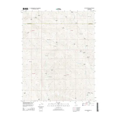
2015 Map of Eylar Mountain
USGS Topo · Published 2015About this map
Eylar Mountain rises as the central landmark in this 2015 study of the high ridges and deep canyons along the boundary between Alameda and Santa Clara counties. The landscape is defined by the complex drainage systems of Arroyo Valle and Arroyo Bayo, carving through dozens of named gulches and canyons. Water sources like McGlinchey Spring and Bantes Spring provided critical sustenance for the cattle ranching and homesteading history of these uplands. Traces of early land use appear in names like Coffey Mill Gulch and Horsethief Canyon, while the narrow passage of The Narrows suggests the difficult transit routes through this terrain. These names, along with landmarks such as Blackbird Valley and Strawberry Flat, offer a detailed record of the local geography as it remained well into the twenty-first century.
Find a feature on this map
50 named features on this map. Tap any name to fly to it.
Don’t see what you’re looking for? This feature index may not catch every label — zoom into the map to look around manually.
Map Details
Editions of this 2015 Eylar Mountain Map
This is the sole edition of this map. No revisions or reprints were ever made.
Other maps of this area

1897 · Mt. Hamilton
USGS Topo · 1:62,500

1907 · Tesla
USGS Topo · 1:62,500

1922 · Carbona
USGS Topo · 1:62,500

1938 · Mt. Boardman
USGS Topo · 1:62,500

1942 · Mt. Hamilton
USGS Topo · 1:62,500
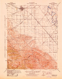
1942 · Carbona
USGS Topo · 1:62,500

1942 · Mt. Boardman
USGS Topo · 1:62,500

1942 · Altamont
USGS Topo · 1:62,500
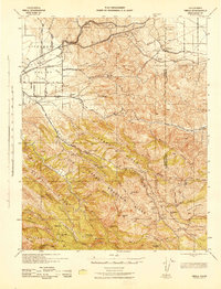
1943 · Tesla
USGS Topo · 1:62,500
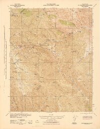
1943 · Mt. Boardman
USGS Topo · 1:62,500