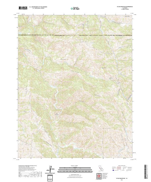
2021 Map of Eylar Mountain
USGS Topo · Published 2021About this map
Eylar Mtn rises above a landscape defined by deep canyons and prominent ridges along the boundary between Alameda and Santa Clara counties. The terrain is marked by numerous water sources like McGlinchey Spring and Banta Spring, which feed into the intricate drainage system of Arroyo Valle and Arroyo Mocho. The presence of several level areas amidst the steep topography, such as Sherman Flats and Strawberry Flat, suggests localized points of utility in an otherwise formidable part of the Diablo Range.
Find a feature on this map
58 named features on this map. Tap any name to fly to it.
Don’t see what you’re looking for? This feature index may not catch every label — zoom into the map to look around manually.
Map Details
Editions of this 2021 Eylar Mountain Map
This is the sole edition of this map. No revisions or reprints were ever made.
Other maps of this area

1897 · Mt. Hamilton
USGS Topo · 1:62,500

1907 · Tesla
USGS Topo · 1:62,500

1922 · Carbona
USGS Topo · 1:62,500

1938 · Mt. Boardman
USGS Topo · 1:62,500

1942 · Mt. Hamilton
USGS Topo · 1:62,500
1942 · Carbona
USGS Topo · 1:62,500

1942 · Mt. Boardman
USGS Topo · 1:62,500

1942 · Altamont
USGS Topo · 1:62,500
1943 · Tesla
USGS Topo · 1:62,500
1943 · Mt. Boardman
USGS Topo · 1:62,500