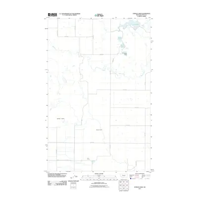
2011 Map of Eyraud Lakes
USGS Topo · Published 2011About this map
Muddy Creek meanders through this portion of Teton County, defining a landscape of prairie benches and water management systems. The elevation is characterized by the prominent Burton Bench in the west and Spring Coulee to the south, highlighting the natural drainage patterns of the high plains. Human influence on the water table is evident through the presence of Brady Canal and the Brady Lakes Number 4 Dam, which regulate the flow in an area naturally dotted with small water bodies like Middle Lake and Round Lake. For those researching local history, the Trinity Cemetery sits at a rural crossroads in the southern portion of the map. The collection of Eyraud Lakes in the northeast remains a focal point for the local geography, illustrating the importance of these reservoirs in a region defined by its agricultural grid of rural lanes and roads.
Find a feature on this map
22 named features on this map. Tap any name to fly to it.
Don’t see what you’re looking for? This feature index may not catch every label — zoom into the map to look around manually.
Map Details
Editions of this 2011 Eyraud Lakes Map
This is the sole edition of this map. No revisions or reprints were ever made.
Other maps of this area

1886 · Great Falls
USGS Topo · 1:250,000

1920 · Choteau
USGS Topo · 1:125,000

1920 · Dupuyer
USGS Topo · 1:125,000

1920 · Conrad
USGS Topo · 1:125,000

1938 · Gallup City
USGS Topo · 1:62,500

1942 · Gallup City
USGS Topo · 1:62,500

1950 · Collins
USGS Topo · 1:62,500

1954 · Great Falls
USGS Topo · 1:250,000

1954 · Shelby
USGS Topo · 1:250,000

1955 · Choteau
USGS Topo · 1:250,000