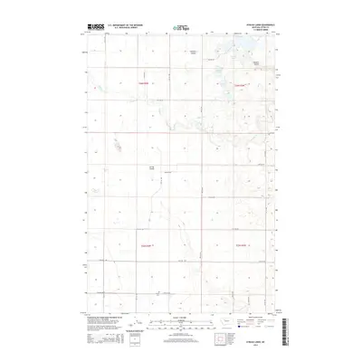
2014 Map of Eyraud Lakes
USGS Topo · Published 2014About this map
Eyraud Lakes and the surrounding drainage of Muddy Cr characterize this portion of Teton County, where the plains are etched by deep coulees and irrigation infrastructure. The local landscape is defined by the hydrologic movement through Farmers Coulee and Spring Coulee, alongside the engineered path of the Brady Canal. For those researching local family history, the Trinity Cem serves as a significant landmark in the southern portion of the quadrangle. The map captures the organized grid of the Public Land Survey System, with numerous local roads like 20th Rd NW and 25th Rd NW providing access to the agricultural tracts between the water bodies of Middle Lake and Round Lake.
Find a feature on this map
26 named features on this map. Tap any name to fly to it.
Don’t see what you’re looking for? This feature index may not catch every label — zoom into the map to look around manually.
Map Details
Editions of this 2014 Eyraud Lakes Map
This is the sole edition of this map. No revisions or reprints were ever made.
Other maps of this area

1886 · Great Falls
USGS Topo · 1:250,000

1920 · Choteau
USGS Topo · 1:125,000

1920 · Dupuyer
USGS Topo · 1:125,000

1920 · Conrad
USGS Topo · 1:125,000

1938 · Gallup City
USGS Topo · 1:62,500

1942 · Gallup City
USGS Topo · 1:62,500

1950 · Collins
USGS Topo · 1:62,500

1954 · Great Falls
USGS Topo · 1:250,000

1954 · Shelby
USGS Topo · 1:250,000

1955 · Choteau
USGS Topo · 1:250,000