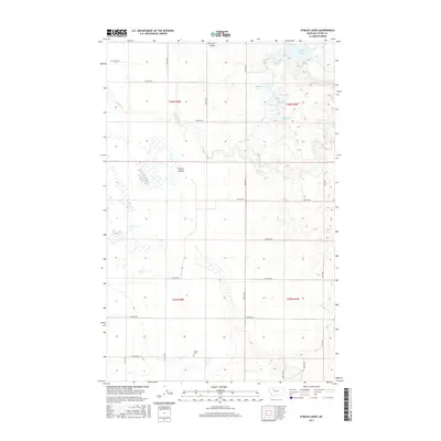
2017 Map of Eyraud Lakes
USGS Topo · Published 2017About this map
Eyraud Lakes and the nearby Middle Lake and Round Lake anchor this 2017 survey of the Teton County plains. The landscape is defined by the high-plains hydrology of the Montana interior, where natural depressions and coulees such as Farmers Coulee and Spring Coulee dictate the flow of water and the placement of infrastructure. The presence of the Brady Canal and the meandering path of Muddy Cr illustrate the managed water systems critical to this region's agricultural viability.
Find a feature on this map
20 named features on this map. Tap any name to fly to it.
Don’t see what you’re looking for? This feature index may not catch every label — zoom into the map to look around manually.
Map Details
Editions of this 2017 Eyraud Lakes Map
This is the sole edition of this map. No revisions or reprints were ever made.
Other maps of this area

1886 · Great Falls
USGS Topo · 1:250,000

1920 · Choteau
USGS Topo · 1:125,000

1920 · Dupuyer
USGS Topo · 1:125,000

1920 · Conrad
USGS Topo · 1:125,000

1938 · Gallup City
USGS Topo · 1:62,500

1942 · Gallup City
USGS Topo · 1:62,500

1950 · Collins
USGS Topo · 1:62,500

1954 · Great Falls
USGS Topo · 1:250,000

1954 · Shelby
USGS Topo · 1:250,000

1955 · Choteau
USGS Topo · 1:250,000