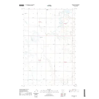
2020 Map of Eyraud Lakes
USGS Topo · Published 2020About this map
Trinity Cem sits in the southern portion of this Teton County landscape, providing a quiet landmark within a region defined by agricultural irrigation and scattered prairie wetlands. The Brady Canal and Muddy Cr draw water across the terrain, supporting the rural sections of T25N and T26N. To the north, the Eyraud Lakes and Round Lake form a cluster of water bodies that break the linear precision of the local road grid.
Find a feature on this map
25 named features on this map. Tap any name to fly to it.
Don’t see what you’re looking for? This feature index may not catch every label — zoom into the map to look around manually.
Map Details
Editions of this 2020 Eyraud Lakes Map
This is the sole edition of this map. No revisions or reprints were ever made.
Other maps of this area

1886 · Great Falls
USGS Topo · 1:250,000

1920 · Choteau
USGS Topo · 1:125,000

1920 · Dupuyer
USGS Topo · 1:125,000

1920 · Conrad
USGS Topo · 1:125,000

1938 · Gallup City
USGS Topo · 1:62,500

1942 · Gallup City
USGS Topo · 1:62,500

1950 · Collins
USGS Topo · 1:62,500

1954 · Great Falls
USGS Topo · 1:250,000

1954 · Shelby
USGS Topo · 1:250,000

1955 · Choteau
USGS Topo · 1:250,000