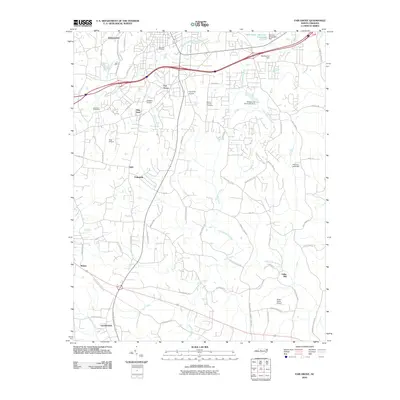
2010 Map of Fair Grove
USGS Topo · Published 2010About this map
Fair Grove and several surrounding rural settlements characterize this southern Davidson County landscape, situated where the waters of Hamby Creek and the Little Uwharrie River drain through the Piedmont. The area reflects a pattern of small-scale aviation and long-standing community landmarks, with several private airfields like Childers Airport and Fairgrove Airport serving the local vicinity. Historical family and church sites are well-documented, including Holly Hill Cemetery near Johnsontown and Mount Carmel Cemetery further east. A network of secondary roads connects established hamlets like Glen Anna, Fullerdale, and Gordontown, leading toward Fuller Mill on the southern edge. The map captures the suburban-rural interface, where older homesteads and family-named roads like Finch Farm Rd and Denton Rd meet the modern infrastructure of a changing North Carolina interior.
Find a feature on this map
68 named features on this map. Tap any name to fly to it.
Don’t see what you’re looking for? This feature index may not catch every label — zoom into the map to look around manually.
Map Details
Editions of this 2010 Fair Grove Map
This is the sole edition of this map. No revisions or reprints were ever made.
Other maps of this area

1949 · Denton NW
USGS Topo · 1:24,000

1949 · Eller
USGS Topo · 1:24,000

1949 · High Point West
USGS Topo · 1:24,000

1950 · High Point East
USGS Topo · 1:24,000

1950 · Lexington East
USGS Topo · 1:24,000

1951 · Lexington East
USGS Topo · 1:24,000

1951 · High Point East
USGS Topo · 1:24,000

1951 · Fair Grove
USGS Topo · 1:24,000

1953 · Raleigh
USGS Topo · 1:250,000

1953 · Charlotte
USGS Topo · 1:250,000