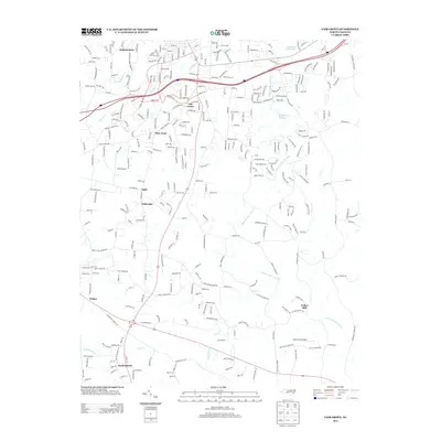
2013 Map of Fair Grove
USGS Topo · Published 2013About this map
Fair Grove and surrounding residential communities define the landscape of this region south of Thomasville during the early 21st century. The map reveals a transition from denser northern settlements like Johnsontown to the more dispersed clusters of Glen Anna, Fullerdale, and Walser. This area is characterized by a dense network of local roads that weave between several major transit corridors, including I-85, Us-64, and NC-109.
Find a feature on this map
21 named features on this map. Tap any name to fly to it.
Don’t see what you’re looking for? This feature index may not catch every label — zoom into the map to look around manually.
Map Details
Editions of this 2013 Fair Grove Map
This is the sole edition of this map. No revisions or reprints were ever made.
Other maps of this area

1949 · Denton NW
USGS Topo · 1:24,000

1949 · Eller
USGS Topo · 1:24,000

1949 · High Point West
USGS Topo · 1:24,000

1950 · High Point East
USGS Topo · 1:24,000

1950 · Lexington East
USGS Topo · 1:24,000

1951 · Lexington East
USGS Topo · 1:24,000

1951 · High Point East
USGS Topo · 1:24,000

1951 · Fair Grove
USGS Topo · 1:24,000

1953 · Raleigh
USGS Topo · 1:250,000

1953 · Charlotte
USGS Topo · 1:250,000