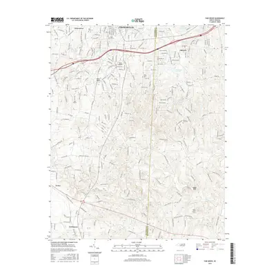
2016 Map of Fair Grove
USGS Topo · Published 2016About this map
Thomasville and the neighboring community of Fair Grove anchor this region along the border of Davidson Co and Randolph Co. The landscape is a network of small settlements and family-named homesteads connected by a dense grid of secondary roads like Fisher Ferry St Exd and Old Raleigh Rd. The drainage of the Little Uwharrie River and its tributaries, including Hamby Cr and Brier Cr, shapes the topography south of the developed corridors.
Find a feature on this map
216 named features on this map. Tap any name to fly to it.
Don’t see what you’re looking for? This feature index may not catch every label — zoom into the map to look around manually.
Map Details
Editions of this 2016 Fair Grove Map
This is the sole edition of this map. No revisions or reprints were ever made.
Other maps of this area

1949 · Denton NW
USGS Topo · 1:24,000

1949 · Eller
USGS Topo · 1:24,000

1949 · High Point West
USGS Topo · 1:24,000

1950 · High Point East
USGS Topo · 1:24,000

1950 · Lexington East
USGS Topo · 1:24,000

1951 · Lexington East
USGS Topo · 1:24,000

1951 · High Point East
USGS Topo · 1:24,000

1951 · Fair Grove
USGS Topo · 1:24,000

1953 · Raleigh
USGS Topo · 1:250,000

1953 · Charlotte
USGS Topo · 1:250,000