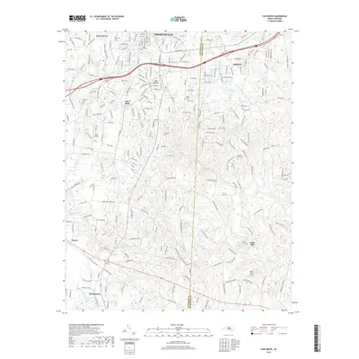
2019 Map of Fair Grove
USGS Topo · Published 2019About this map
Thomasville and Trinity anchor the northern reaches of this landscape, where the Piedmont terrain is defined by a network of creeks and small aviation fields. The area around Fair Grove and Glen Anna reveals a dense pattern of local history preserved in its cemeteries, including Mills Home Cem and Holly Hill Cem. To the south, the terrain becomes more rural as the Little Uwharrie River winds through the countryside near Fuller Mill.
Find a feature on this map
209 named features on this map. Tap any name to fly to it.
Don’t see what you’re looking for? This feature index may not catch every label — zoom into the map to look around manually.
Map Details
Editions of this 2019 Fair Grove Map
This is the sole edition of this map. No revisions or reprints were ever made.
Other maps of this area

1949 · Denton NW
USGS Topo · 1:24,000

1949 · Eller
USGS Topo · 1:24,000

1949 · High Point West
USGS Topo · 1:24,000

1950 · High Point East
USGS Topo · 1:24,000

1950 · Lexington East
USGS Topo · 1:24,000

1951 · Lexington East
USGS Topo · 1:24,000

1951 · High Point East
USGS Topo · 1:24,000

1951 · Fair Grove
USGS Topo · 1:24,000

1953 · Raleigh
USGS Topo · 1:250,000

1953 · Charlotte
USGS Topo · 1:250,000