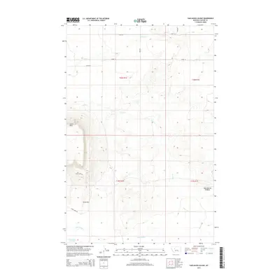
2014 Map of Fair Haven Colony
USGS Topo · Published 2014About this map
Fair Haven Colony serves as a focal point for this section of Montana's landscape, which is defined by its distinct high-plains topography and drainage systems. Significant landmarks like the prominent Square Butte and the long ridge of the Rocky Reef characterize the western and southern reaches of the map. These natural features, combined with the Rocky Reef Reservoir, illustrate the water management essential for agriculture in this region. The map details a network of rural routes, including Goetz Rd, Leistiko Rd, and Muddy Creek Rd, which connect scattered homesteads and facilitate the movement of livestock and crops across the drainage basins of Little Muddy Cr, Adobe Cr, and Dry Fork. This 2014 survey documents the contemporary rural infrastructure of Cascade County, showing how modern land use continues to follow the contours of the terrain.
Find a feature on this map
18 named features on this map. Tap any name to fly to it.
Don’t see what you’re looking for? This feature index may not catch every label — zoom into the map to look around manually.
Map Details
Editions of this 2014 Fair Haven Colony Map
This is the sole edition of this map. No revisions or reprints were ever made.
Other maps of this area

1886 · Great Falls
USGS Topo · 1:250,000

1949 · Cascade
USGS Topo · 1:62,500

1949 · Vaughn
USGS Topo · 1:62,500

1950 · Fairfield
USGS Topo · 1:62,500

1951 · Cascade
USGS Topo · 1:62,500

1952 · Vaughn
USGS Topo · 1:62,500

1954 · Great Falls
USGS Topo · 1:250,000

1957 · Great Falls
USGS Topo · 1:250,000

1960 · Simms
USGS Topo · 1:62,500

1976 · Great Falls North
USGS Topo · 1:100,000