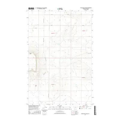
2017 Map of Fair Haven Colony
USGS Topo · Published 2017About this map
Fair Haven Colony serves as a primary point of interest in this section of Cascade County, where the high plains are carved by intermittent watercourses like the Dry Fork and Little Muddy Cr. The landscape is dominated by the dramatic rise of Square Butte and the distinctive formation of Rocky Reef, geological landmarks that provide significant relief against the surrounding agricultural and grazing land. A network of rural routes, including Sun River Cascade Rd and Goetz Rd, provides access across the section lines of T20N and T19N. This 2017 survey illustrates the modern layout of the colony's central facilities and the drainage patterns of Adobe Cr and Fourmile Cr as they move across the Montana prairie. The map documents the enduring spatial organization of a Hutterite settlement and its relationship to the natural water sources of the region.
Find a feature on this map
16 named features on this map. Tap any name to fly to it.
Don’t see what you’re looking for? This feature index may not catch every label — zoom into the map to look around manually.
Map Details
Editions of this 2017 Fair Haven Colony Map
This is the sole edition of this map. No revisions or reprints were ever made.
Other maps of this area

1886 · Great Falls
USGS Topo · 1:250,000

1949 · Cascade
USGS Topo · 1:62,500

1949 · Vaughn
USGS Topo · 1:62,500

1950 · Fairfield
USGS Topo · 1:62,500

1951 · Cascade
USGS Topo · 1:62,500

1952 · Vaughn
USGS Topo · 1:62,500

1954 · Great Falls
USGS Topo · 1:250,000

1957 · Great Falls
USGS Topo · 1:250,000

1960 · Simms
USGS Topo · 1:62,500

1976 · Great Falls North
USGS Topo · 1:100,000