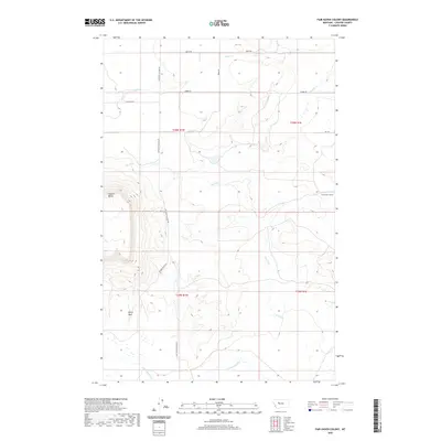
2020 Map of Fair Haven Colony
USGS Topo · Published 2020About this map
Square Butte rises prominently above the Montana plains in this Cascade County landscape, a major topographical anchor southwest of the Fair Haven Colony. The terrain is defined by a network of seasonal drainages including the Dry Fork, Adobe Creek, and Little Muddy Creek, which cut through the high prairie. The map details a strictly rural infrastructure where historical land use is reflected in family-named access routes such as Leistiko Rd, Luebbe Rd, and Weber Rd. South of the butte, the Rocky Reef provides another distinctive geological feature, while the long transit of Sun River Cascade Rd connects these isolated settlements and ranching operations to the wider region. This record captures the traditional agricultural footprint of the area, centered on the Hutterite communal living at Fair Haven.
Find a feature on this map
19 named features on this map. Tap any name to fly to it.
Don’t see what you’re looking for? This feature index may not catch every label — zoom into the map to look around manually.
Map Details
Editions of this 2020 Fair Haven Colony Map
This is the sole edition of this map. No revisions or reprints were ever made.
Other maps of this area
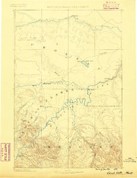
1886 · Great Falls
USGS Topo · 1:250,000
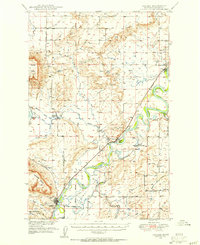
1949 · Cascade
USGS Topo · 1:62,500
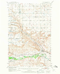
1949 · Vaughn
USGS Topo · 1:62,500
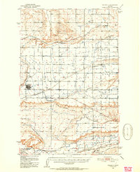
1950 · Fairfield
USGS Topo · 1:62,500
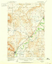
1951 · Cascade
USGS Topo · 1:62,500
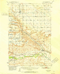
1952 · Vaughn
USGS Topo · 1:62,500
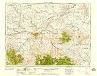
1954 · Great Falls
USGS Topo · 1:250,000
1957 · Great Falls
USGS Topo · 1:250,000
1960 · Simms
USGS Topo · 1:62,500
1976 · Great Falls North
USGS Topo · 1:100,000