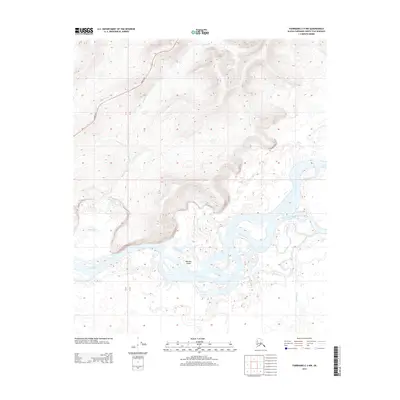
2013 Map of Fairbanks C-3 NW
USGS Topo · Published 2013About this map
The Tanana River dominates this portion of the Alaska interior, its complex braided channels and gravel bars forming landforms like Whiskey Island. The waterway is flanked by a dense network of secondary channels, including Hot Slough and Sevenmile Slough, which illustrate the active, shifting nature of the river system in this low-lying valley. In the north, the terrain rises sharply into higher elevations where Bonanza Cr cuts through the ridges.
Find a feature on this map
9 named features on this map. Tap any name to fly to it.
Don’t see what you’re looking for? This feature index may not catch every label — zoom into the map to look around manually.
Map Details
Editions of this 2013 Fairbanks C-3 NW Map
This is the sole edition of this map. No revisions or reprints were ever made.
Other maps of this area

1949 · Fairbanks D-3
USGS Topo · 1:63,360

1949 · Fairbanks D-4
USGS Topo · 1:63,360

1950 · Fairbanks
USGS Topo · 1:250,000

1950 · Fairbanks C-3
USGS Topo · 1:63,360

1950 · Fairbanks C-4
USGS Topo · 1:63,360

1950 · Fairbanks D-3
USGS Topo · 1:63,360

1951 · Fairbanks
USGS Topo · 1:250,000

1952 · Fairbanks C-4
USGS Topo · 1:63,360

1952 · Fairbanks D-3
USGS Topo · 1:63,360

1952 · Fairbanks D-4
USGS Topo · 1:63,360