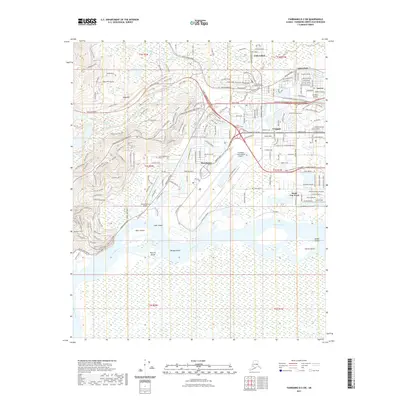
2021 Map of Fairbanks D-2 SW
USGS Topo · Published 2021About this map
The University of Alaska Fairbanks campus sits prominently on the ridge above the river flats in this modern 2021 study of the Fairbanks area. The landscape transitions from the residential neighborhoods of College, Aurora, and Westgate into the intensive transportation and industrial corridors of the Alaska Railroad and the Fairbanks International Airport. The intricate hydrography of the interior is on full display, showcasing the winding Chena River and the braided channels of the Tanana River south of town. Several large river islands, including Byers Island, Wenrich Island, and Morgan Island, are documented within the shifting riverbeds. This map provides a clear record of modern suburban expansion along Chena Ridge and the industrial activity centered around South Van Horn and the Chena Marina Airport.
Find a feature on this map
202 named features on this map. Tap any name to fly to it.
Don’t see what you’re looking for? This feature index may not catch every label — zoom into the map to look around manually.
Map Details
Editions of this 2021 Fairbanks D-2 SW Map
This is the sole edition of this map. No revisions or reprints were ever made.
Other maps of this area

1949 · Fairbanks D-2
USGS Topo · 1:62,500

1949 · Fairbanks D-3
USGS Topo · 1:63,360

1949 · Fairbanks C-2
USGS Topo · 1:63,360

1950 · Fairbanks
USGS Topo · 1:250,000

1950 · Fairbanks C-3
USGS Topo · 1:63,360

1950 · Fairbanks D-3
USGS Topo · 1:63,360

1951 · Fairbanks
USGS Topo · 1:250,000

1952 · Fairbanks C-2
USGS Topo · 1:63,360

1952 · Fairbanks D-2
USGS Topo · 1:63,360

1952 · Fairbanks D-3
USGS Topo · 1:63,360