
1949 Map of Fairbanks C-2
USGS Topo · Published 1958About this map
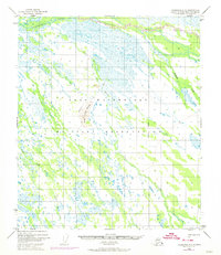
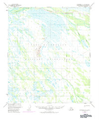
Ladd Air Force Base dominates this sub-arctic landscape south of the Salchaket Slough, reflecting the strategic military expansion into Alaska during the early Cold War era. The terrain is characterized by a complex network of wetlands and seasonal waterways, including Clear Creek and Willow Creek, which feed into the larger river systems of the Tanana Valley. A massive Bombing and Gunnery Range occupies a significant portion of the southern quadrant, indicating the intensive military training operations of the period. The only significant elevation in the area is the Bonnifield Clear Creek Butte, providing a rare topographical landmark in a region otherwise defined by meandering sloughs and low-lying brush. A solitary Trail is the only marked ground transportation route, highlighting the era's reliance on air and river access for interior movement.
Find a feature on this map
8 named features on this map. Tap any name to fly to it.
Don’t see what you’re looking for? This feature index may not catch every label — zoom into the map to look around manually.
Map Details
Editions of this 1949 Fairbanks C-2 Map
3 editions found
Other maps of this area

1949 · Fairbanks D-1
USGS Topo · 1:62,500

1949 · Fairbanks D-2
USGS Topo · 1:62,500

1949 · Fairbanks C-1
USGS Topo · 1:63,360

1949 · Fairbanks D-3
USGS Topo · 1:63,360

1949 · Fairbanks B-3
USGS Topo · 1:63,360

1950 · Fairbanks
USGS Topo · 1:250,000

1950 · Fairbanks C-3
USGS Topo · 1:63,360

1950 · Fairbanks C-1
USGS Topo · 1:63,360

1950 · Fairbanks B-2
USGS Topo · 1:63,360

1950 · Fairbanks D-3
USGS Topo · 1:63,360