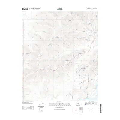
2013 Map of Fairbanks D-3 SE
USGS Topo · Published 2013About this map
Ester serves as the focal point of this Alaskan landscape, situated just north of the Parks Hwy at the edge of the interior gold fields. The terrain is defined by the prominent Chena Ridge and a network of valleys carved by drainage systems like Ester Cr and Cripple Cr. Historic transportation corridors, including the Old Nenana Hwy and the winding Ester Dome Rd, provide a window into the region's development and access to the high ground of Moose Gulch.
Find a feature on this map
70 named features on this map. Tap any name to fly to it.
Don’t see what you’re looking for? This feature index may not catch every label — zoom into the map to look around manually.
Map Details
Editions of this 2013 Fairbanks D-3 SE Map
This is the sole edition of this map. No revisions or reprints were ever made.
Other maps of this area

1949 · Fairbanks D-2
USGS Topo · 1:62,500

1949 · Fairbanks D-3
USGS Topo · 1:63,360

1949 · Fairbanks C-2
USGS Topo · 1:63,360

1950 · Fairbanks
USGS Topo · 1:250,000

1950 · Fairbanks C-3
USGS Topo · 1:63,360

1950 · Fairbanks D-3
USGS Topo · 1:63,360

1951 · Fairbanks
USGS Topo · 1:250,000

1952 · Fairbanks C-2
USGS Topo · 1:63,360

1952 · Fairbanks D-2
USGS Topo · 1:63,360

1952 · Fairbanks D-3
USGS Topo · 1:63,360