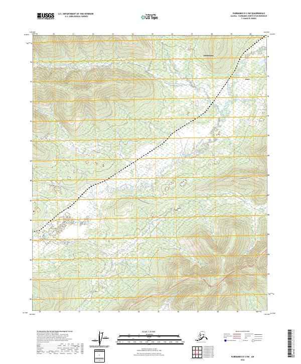
2024 Map of Fairbanks D-3 SW
USGS Topo · Published 2024About this map
Goldstream and Ester anchor the eastern edge of this Fairbanks North Star landscape, where the elevation rises significantly from the drainage basins. The area is defined by a dense network of waterways, including Goldstream Creek, Allen Creek, and the southern Ohio Creek. Transport across this subarctic terrain is facilitated by Parks Highway, while more specialized access is provided via Standard Creek Road and Cache Creek Road. The map reveals a transition between lowland wetlands and rising ridge lines, characteristic of the interior Alaskan topography. One can observe the way historical land divisions of the Public Land Survey System, such as t1n r4w and t2s r4w, intersect with the natural flow of Left Fork Cache Creek and Bonanza Creek.
Find a feature on this map
17 named features on this map. Tap any name to fly to it.
Don’t see what you’re looking for? This feature index may not catch every label — zoom into the map to look around manually.
Map Details
Editions of this 2024 Fairbanks D-3 SW Map
This is the sole edition of this map. No revisions or reprints were ever made.
Other maps of this area

1949 · Fairbanks D-3
USGS Topo · 1:63,360

1949 · Fairbanks D-4
USGS Topo · 1:63,360

1950 · Fairbanks
USGS Topo · 1:250,000

1950 · Fairbanks C-3
USGS Topo · 1:63,360

1950 · Fairbanks C-4
USGS Topo · 1:63,360

1950 · Fairbanks D-3
USGS Topo · 1:63,360

1951 · Fairbanks
USGS Topo · 1:250,000

1952 · Fairbanks C-4
USGS Topo · 1:63,360

1952 · Fairbanks D-3
USGS Topo · 1:63,360

1952 · Fairbanks D-4
USGS Topo · 1:63,360