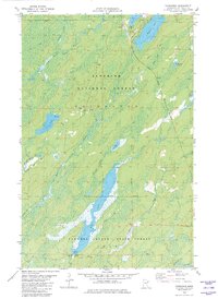
1982 Map of Fairbanks
USGS Topo · Published 1982About this map
Cloquet Valley State Forest and the Superior National Forest define this 1982 map of the St. Louis County backcountry. The landscape is a network of boreal waterways and glacial lakes, notably the elongated Wolf Lake and the broad Bassett Lake, which are linked by several drainage systems including Hornby Creek and Petrel Creek. Human activity is concentrated along the transport corridors, specifically the Duluth Missabe and Iron Range Railroad as it cuts north toward the Iron Range. Small settlements like Fairbanks, Otto, and Brimson appear as quiet clusters of structures in a region otherwise dominated by wetlands and forestry. The presence of a Landing Strip near Cadotte L and numerous Gravel Pits suggests the area's ongoing use for logging access and regional transit during the late 1970s and early 1980s.
Find a feature on this map
31 named features on this map. Tap any name to fly to it.
Don’t see what you’re looking for? This feature index may not catch every label — zoom into the map to look around manually.
Map Details
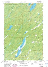
Editions of this 1982 Fairbanks Map
2 editions found
Other maps of this area

1954 · Two Harbors
USGS Topo · 1:250,000

1954 · Hibbing
USGS Topo · 1:250,000

1956 · Pequaywan Lake
USGS Topo · 1:24,000

1956 · King Lake
USGS Topo · 1:24,000

1957 · Two Harbors
USGS Topo · 1:250,000

1957 · Hibbing
USGS Topo · 1:250,000

1957 · Brimson
USGS Topo · 1:62,500

1957 · Markham
USGS Topo · 1:62,500
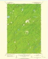
1957 · Boulder Lake Reservoir NE
USGS Topo · 1:24,000

1958 · Hibbing
USGS Topo · 1:250,000