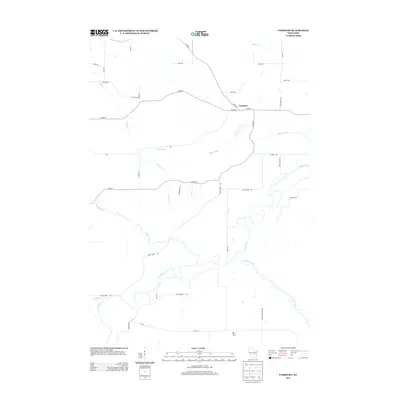
2013 Map of Fairburn
USGS Topo · Published 2013About this map
The Fox River and its meandering tributaries dominate this 2013 landscape in Green Lake County. The settlement of Fairburn sits at a crossroads of county highways, including Co Hwy-E and Co Hwy-F, serving as a central point in an area defined by its complex hydrology. The map details the confluence of several significant water bodies, such as the Puchyan River and White River, which carve winding paths through the low-lying terrain. To the south, the prominent elevation of Mt Tom provides a distinct vertical contrast to the surrounding river basins and marshlands like the Puchyan River corridor. This survey also documents local infrastructure such as the Town Drain and rural residential developments like Fox River Shrs, illustrating how the community manages its relationship with the prominent Wisconsin waterways.
Find a feature on this map
35 named features on this map. Tap any name to fly to it.
Don’t see what you’re looking for? This feature index may not catch every label — zoom into the map to look around manually.
Map Details
Editions of this 2013 Fairburn Map
This is the sole edition of this map. No revisions or reprints were ever made.
Other maps of this area

1915 · Neshkoro
USGS Topo · 1:48,000

1916 · Ripon
USGS Topo · 1:48,000

1918 · Neshkoro
USGS Topo · 1:62,500

1918 · Ripon
USGS Topo · 1:62,500

1955 · Green Bay
USGS Topo · 1:250,000

1956 · Ripon
USGS Topo · 1:62,500

1957 · Madison
USGS Topo · 1:250,000

1960 · Madison
USGS Topo · 1:250,000

1961 · Poy Sippi
USGS Topo · 1:62,500

1961 · Redgranite
USGS Topo · 1:62,500