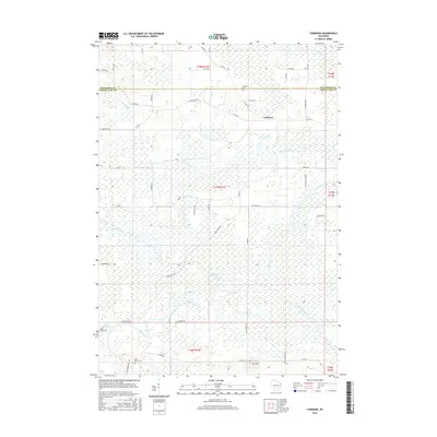
2016 Map of Fairburn
USGS Topo · Published 2016About this map
The low-lying wetlands of Green Lake and Waushara counties define this landscape, where the Fox River and White River converge amidst a complex network of tributaries. The small settlement of Fairburn sits north of the river bends, serves as a focal point for the rural road system including Co Hwy E and Co Hwy F. Genealogists will find several notable burial sites preserved in the area, such as Fairburn Cem, Black Creek Cem, and Saint Marie Cem. The terrain is largely dominated by hydraulic features like Town Drain and Barnes Cr, but the distinct elevation of Mt Tom rises in the south, providing a rare break in the marshy surroundings. The map also documents local infrastructure ranging from the Big Island Rd crossing to the residential development at Fox River Shores.
Find a feature on this map
51 named features on this map. Tap any name to fly to it.
Don’t see what you’re looking for? This feature index may not catch every label — zoom into the map to look around manually.
Map Details
Editions of this 2016 Fairburn Map
This is the sole edition of this map. No revisions or reprints were ever made.
Other maps of this area

1915 · Neshkoro
USGS Topo · 1:48,000

1916 · Ripon
USGS Topo · 1:48,000

1918 · Neshkoro
USGS Topo · 1:62,500

1918 · Ripon
USGS Topo · 1:62,500

1955 · Green Bay
USGS Topo · 1:250,000

1956 · Ripon
USGS Topo · 1:62,500

1957 · Madison
USGS Topo · 1:250,000

1960 · Madison
USGS Topo · 1:250,000

1961 · Poy Sippi
USGS Topo · 1:62,500

1961 · Redgranite
USGS Topo · 1:62,500